Water Risk
Water risk in Southern Spain, explained for the people who live there
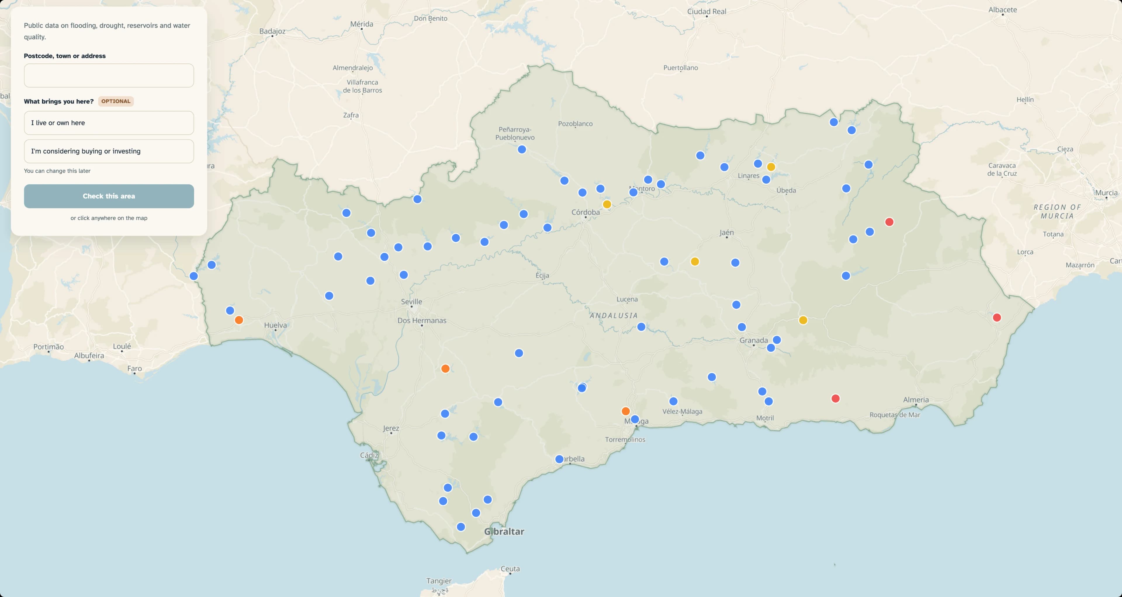
Drought, flood and supply data for Southern Spain exists, but it sits scattered across agencies and reads like it was written for hydrologists. A resident or prospective home buyer has no way to ask what any of it means for them.
Pick a location, browse the available water-risk layers on a map, then chat through how the findings would affect you as a resident or buyer. A Spanish toggle serves the people the data describes.
Edita came to water data from outside the field, so she gave every layer two tests: does it exist, and does it hold up when checked against other sources? She ran the build like a team, with separate AI agents for each role sharing handoff files. A follow-up covering fire and water risk along the Mediterranean coast is already underway.
Want to build your own?
You join a live global cohort for eight weeks and ship working tools as you go. No engineering background required.
Apply to the next cohort →Cohort starts: October 26, 2026
Application Deadline: October 23, 2026